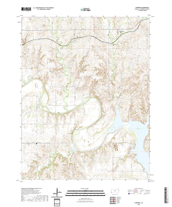
2022 Map of Carneiro
USGS Topo · Published 2022About this map
The Smoky Hill River meanders through the heart of this Ellsworth County landscape, shaping a terrain defined by its watercourses and the eastern reaches of Kanopolis Lake. The settlement of Carneiro serves as the primary local landmark, situated near the headwaters of Alum Creek. Genealogists and local historians can locate the Carneiro Cem and Buckeye Cem, which provide specific points of interest for family research. The map illustrates a structured grid of rural roads, such as Ave J and 22nd Rd, connecting scattered agricultural parcels. Tributaries like Thompson Creek and Clear Cr feed into the river system, reflecting the drainage patterns essential to the region's geography. This survey documents the intersection of natural hydrology and rural development in central Kansas.
Find a feature on this map
31 named features on this map. Tap any name to fly to it.
Don’t see what you’re looking for? This feature index may not catch every label — zoom into the map to look around manually.
Map Details
Editions of this 2022 Carneiro Map
This is the sole edition of this map. No revisions or reprints were ever made.
Other maps of this area

1892 · Salina
USGS Topo · 1:125,000

1894 · Ellsworth
USGS Topo · 1:125,000

1942 · Salina
USGS Topo · 1:125,000

1955 · Great Bend
USGS Topo · 1:250,000

1955 · Hutchinson
USGS Topo · 1:250,000

1957 · Great Bend
USGS Topo · 1:250,000

1957 · Ellsworth
USGS Topo · 1:24,000

1957 · Westfall SW
USGS Topo · 1:24,000

1957 · Brookville SW
USGS Topo · 1:24,000

1957 · Westfall SE
USGS Topo · 1:24,000