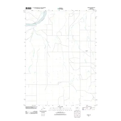
2011 Map of Carns
USGS Topo · Published 2011About this map
The Niobrara River carves across this Keya Paha County landscape, where the historic Carns Bridge provides a vital crossing point in the north. This region is defined by an intricate network of waterways, including Rock Creek and the multiple branches of Laughing Water Creek, which drain the open ranchland. To the east, the rural character of the area is anchored by the Willowdale Cemetery situated near Willow Creek. The map documents a sparsely populated Nebraska prairie at the start of the 2010s, where movement is limited to a few section-line roads and specialized routes like Karnes Rd. The terrain transition from the river valley to the surrounding plateaus is traced through subtle elevation changes, showing the persistent reliance on natural drainages like Sand Creek for defining the land's utility.
Find a feature on this map
11 named features on this map. Tap any name to fly to it.
Don’t see what you’re looking for? This feature index may not catch every label — zoom into the map to look around manually.
Map Details
Editions of this 2011 Carns Map
This is the sole edition of this map. No revisions or reprints were ever made.
Other maps of this area

1949 · Jamison SW
USGS Topo · 1:24,000

1949 · Riverview
USGS Topo · 1:24,000

1949 · Carns
USGS Topo · 1:24,000

1950 · Carns
USGS Topo · 1:24,000

1950 · Riverview
USGS Topo · 1:24,000

1950 · Mariaville
USGS Topo · 1:24,000

1951 · Jamison SW
USGS Topo · 1:24,000

1954 · Newport NE
USGS Topo · 1:24,000

1954 · Bassett
USGS Topo · 1:24,000

1954 · Newport
USGS Topo · 1:24,000