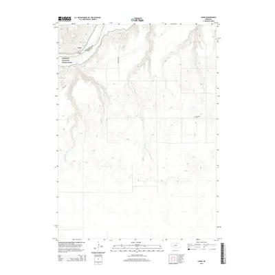
2014 Map of Carns
USGS Topo · Published 2014About this map
The Niobrara River valley dominates this portion of northern Nebraska, where the small settlement of Carns sits along the waterway. Designated as the Niobrara National Scenic River, this corridor is defined by deep incisions through the high plains, creating a network of drainage branches. Significant local landmarks include the Carns Bridge and the Willowdale Cem, which serve as focal points for the sparsely populated ranching country. The terrain is notably dissected by several watercourses including Coon Cr, E Br Laughing Water Cr, and W Br Laughing Water Cr, which feed into the main river valley. This geography, captured in the early 21st century, illustrates the persistent rural character of the region and the critical role of the river in shaping local transport and land use, from the primitive paths like Karnes RD to the primary crossing at Carns Bridge.
Find a feature on this map
15 named features on this map. Tap any name to fly to it.
Don’t see what you’re looking for? This feature index may not catch every label — zoom into the map to look around manually.
Map Details
Editions of this 2014 Carns Map
This is the sole edition of this map. No revisions or reprints were ever made.
Other maps of this area

1949 · Jamison SW
USGS Topo · 1:24,000

1949 · Riverview
USGS Topo · 1:24,000

1949 · Carns
USGS Topo · 1:24,000

1950 · Carns
USGS Topo · 1:24,000

1950 · Riverview
USGS Topo · 1:24,000

1950 · Mariaville
USGS Topo · 1:24,000

1951 · Jamison SW
USGS Topo · 1:24,000

1954 · Newport NE
USGS Topo · 1:24,000

1954 · Bassett
USGS Topo · 1:24,000

1954 · Newport
USGS Topo · 1:24,000