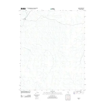
2012 Map of Carp
USGS Topo · Published 2012About this map
Long Valley Post Office stands as a primary landmark in this corner of Lincoln County, marking a localized center of activity within the arid landscape. The settlement of Carp is situated near the Meadow Valley Wash, a watercourse that dictates the drainage patterns and historical travel routes through this portion of the Great Basin. The network of tracks and paths is relatively sparse, with S Fork Rd providing one of the few designated thoroughfares through the high-desert terrain. This map captures the area at a time when remote outposts like Carp remained essential for postal services and local connectivity in a region defined more by its natural hydrography than by dense urban development.
Find a feature on this map
4 named features on this map. Tap any name to fly to it.
Don’t see what you’re looking for? This feature index may not catch every label — zoom into the map to look around manually.
Map Details
Editions of this 2012 Carp Map
This is the sole edition of this map. No revisions or reprints were ever made.
Other maps of this area
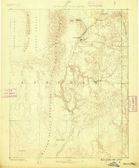
1885 · Pioche
USGS Topo · 1:250,000
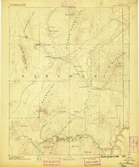
1886 · Saint Thomas
USGS Topo · 1:250,000
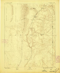
1886 · Pioche
USGS Topo · 1:250,000
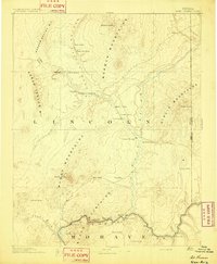
1893 · Saint Thomas
USGS Topo · 1:250,000
1954 · Caliente
USGS Topo · 1:250,000
1954 · Las Vegas
USGS Topo · 1:250,000
1957 · Las Vegas
USGS Topo · 1:250,000
1959 · Caliente
USGS Topo · 1:250,000
1959 · Las Vegas
USGS Topo · 1:250,000
1962 · Las Vegas
USGS Topo · 1:250,000