
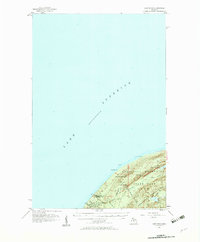
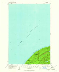
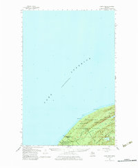
1956 Map of Carp River
USGS Topo · Published 1957About this map
Lake Superior dominates the northern expanse of this 1950s survey, meeting the Upper Peninsula at the steep elevations of Porcupine Mountains State Park. The landscape is defined by its verticality and water systems, where Shining Cloud Falls and Traders Falls mark the descent of the L Carp R toward the Great Lake. Inland, the high-altitude Lake of the Clouds sits tucked between ridges, including Miscowawbic Peak and LaFayette Peak.
Find a feature on this map
23 named features on this map. Tap any name to fly to it.
Don’t see what you’re looking for? This feature index may not catch every label — zoom into the map to look around manually.
Map Details
Editions of this 1956 Carp River Map
4 editions found
Other maps of this area

1953 · Ashland
USGS Topo · 1:250,000

1954 · Two Harbors
USGS Topo · 1:250,000

1956 · North Ironwood
USGS Topo · 1:62,500

1956 · Bergland
USGS Topo · 1:62,500

1956 · Thomaston
USGS Topo · 1:62,500

1956 · White Pine
USGS Topo · 1:62,500

1957 · Two Harbors
USGS Topo · 1:250,000

1958 · Ashland
USGS Topo · 1:250,000

1958 · Two Harbors
USGS Topo · 1:250,000

1958 · Hancock
USGS Topo · 1:250,000