
1920 Map of Carrisalito Spring
USGS Topo · Published 1920About this map
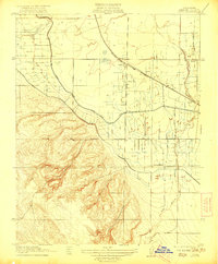
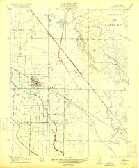
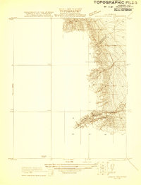
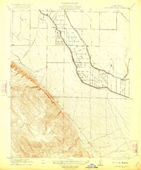
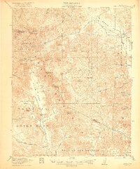
Panoche De San Juan Los Carrisalito defines the rugged, arid terrain of Merced County as it appeared following a 1919 survey by R.A. Kiger and Adolph Fankhauser. This advance sheet highlights a landscape of high ridges and deep drainages, where life and industry centered on sparse water sources and early fossil fuel infrastructure. Local education is represented by the isolated Ortigalita School, while the presence of an Oil Pump Sta north of Salt Creek indicates early petroleum development in the Central Valley foothills. The complex drainage network, featuring Los Banos Creek and Ortigalita Creek, illustrates the natural hydrology that shaped ranching and settlement patterns before modern irrigation transformed the region. The reliable water at Carrisalito Spring provides a crucial anchor for researchers tracing historical land use in this part of the California Coast Ranges.
Find a feature on this map
8 named features on this map. Tap any name to fly to it.
Don’t see what you’re looking for? This feature index may not catch every label — zoom into the map to look around manually.
Map Details
Editions of this 1920 Carrisalito Spring Map
This is the sole edition of this map. No revisions or reprints were ever made.
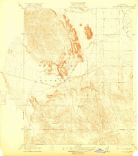
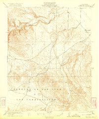
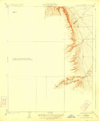
Other maps of this area

1913 · Panoche
USGS Topo · 1:125,000

1920 · Pacheco Pass
USGS Topo · 1:62,500
1921 · Volta
USGS Topo · 1:31,680
1921 · Los Banos
USGS Topo · 1:31,680
1921 · Laguna Seca Ranch
USGS Topo · 1:31,680
1922 · Charleston School
USGS Topo · 1:31,680
1922 · Quien Sabe
USGS Topo · 1:62,500
1922 · San Luis Creek
USGS Topo · 1:31,680
1922 · Ortigalita
USGS Topo · 1:31,680
1923 · Laguna Seca Ranch
USGS Topo · 1:31,680