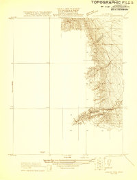
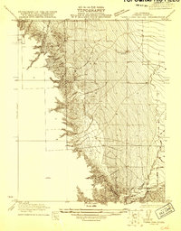
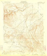
1921 Map of Laguna Seca Ranch
USGS Topo · Published 1921About this map
Merced Co and Fresno Co meet along a sharp topographical boundary in this early 1920s survey of the Central Valley foothills. The terrain is dominated by the deeply incised drainage of Little Panoche Creek, which cuts through the eastern slopes toward the valley floor. This advance sheet, surveyed in 1920, emphasizes the complex contouring of the Laguna Seca Ranch area during a period of transition in California's land use. The map focuses on the natural hydrology and elevation changes that define the border between these two counties, capturing the landscape just as regional state engineering efforts, under W. F. McClure, were expanding across the interior.
Find a feature on this map
2 named features on this map. Tap any name to fly to it.
Don’t see what you’re looking for? This feature index may not catch every label — zoom into the map to look around manually.
Map Details
Editions of this 1921 Laguna Seca Ranch Map
This is the sole edition of this map. No revisions or reprints were ever made.
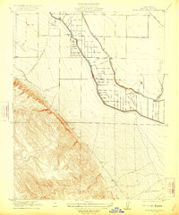
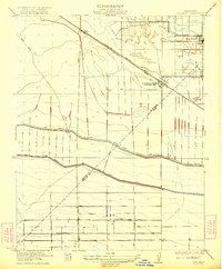
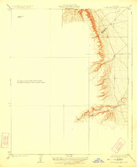
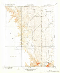
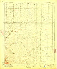
Other maps of this area

1913 · Panoche
USGS Topo · 1:125,000

1920 · Carrisalito Spring
USGS Topo · 1:31,680
1921 · Tierra Loma School
USGS Topo · 1:31,680
1922 · Charleston School
USGS Topo · 1:31,680
1922 · Dos Palos
USGS Topo · 1:31,680
1922 · Ortigalita
USGS Topo · 1:31,680
1923 · Laguna Seca Ranch
USGS Topo · 1:31,680
1923 · Tierra Loma School
USGS Topo · 1:31,680
1923 · Little Panoche
USGS Topo · 1:31,680

1943 · Ortigalita Peak
USGS Topo · 1:62,500