1923 Map of Little Panoche
USGS Topo · Published 1923About this map
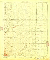
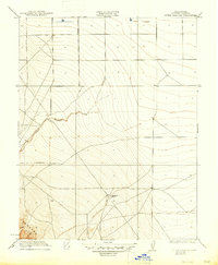
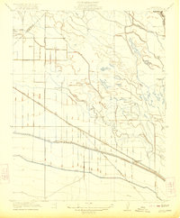
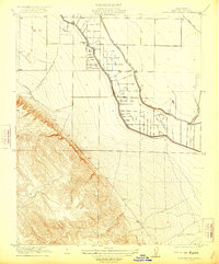
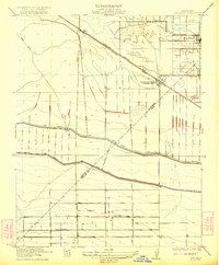
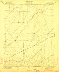
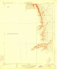
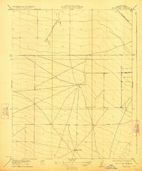
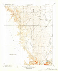
Oil Pumping Station and a network of early roads define this 1920s landscape in western Fresno County. The topography is dominated by the steep, rising slopes of the Panoche Hills in the southwest, giving way to the flatter terrain of the Central Valley to the northeast. Little Panoche Creek cuts through the center of the sheet, providing a primary drainage route for the surrounding uplands. Surveyed by W.R. Chenoweth and R.A. Kiger, the map documents a transitional industrial-agricultural zone where the emerging petroleum economy met traditional rangeland. The presence of several established bench marks, such as BM 407 and BM 523, indicates the precision with which this often-overlooked corridor was measured during the interwar period.
Find a feature on this map
7 named features on this map. Tap any name to fly to it.
Don’t see what you’re looking for? This feature index may not catch every label — zoom into the map to look around manually.
Map Details
Editions of this 1923 Little Panoche Map
2 editions found
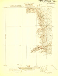
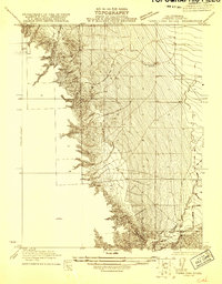
Other maps of this area

1913 · Panoche
USGS Topo · 1:125,000
1921 · Laguna Seca Ranch
USGS Topo · 1:31,680
1921 · Tierra Loma School
USGS Topo · 1:31,680
1922 · Oxalis
USGS Topo · 1:31,680
1922 · Charleston School
USGS Topo · 1:31,680
1922 · Dos Palos
USGS Topo · 1:31,680
1922 · Chaney Ranch
USGS Topo · 1:31,680
1923 · Laguna Seca Ranch
USGS Topo · 1:31,680
1923 · Wisdom Well
USGS Topo · 1:31,680
1923 · Tierra Loma School
USGS Topo · 1:31,680