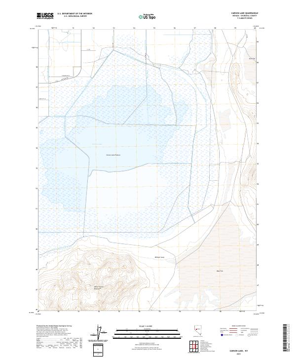
2021 Map of Carson Lake
USGS Topo · Published 2021About this map
Carson Lake and its surrounding wetlands dominate this landscape, revealing a complex network of man-made irrigation and drainage infrastructure in Churchill County. This 2021 record highlights the vital water management systems that support the Carson Lake Pasture, including the Rice Ditch, A Line Canal, and the L 12 Canal. These features illustrate the intersection of natural basins and human engineering, as seen in the various drains like the West Lee Drain and Carson Lake Drain that funnel water through the flat desert terrain.
Find a feature on this map
27 named features on this map. Tap any name to fly to it.
Don’t see what you’re looking for? This feature index may not catch every label — zoom into the map to look around manually.
Map Details
Editions of this 2021 Carson Lake Map
This is the sole edition of this map. No revisions or reprints were ever made.
Other maps of this area

1908 · Carson Sink
USGS Topo · 1:250,000

1910 · Carson Sink
USGS Topo · 1:250,000

1951 · Carson Lake
USGS Topo · 1:62,500

1951 · Allen Springs
USGS Topo · 1:62,500

1951 · Weber Reservoir
USGS Topo · 1:62,500

1951 · Fallon
USGS Topo · 1:62,500

1957 · Reno
USGS Topo · 1:250,000

1959 · Reno
USGS Topo · 1:250,000

1960 · Reno
USGS Topo · 1:250,000

1979 · Fallon
USGS Topo · 1:100,000