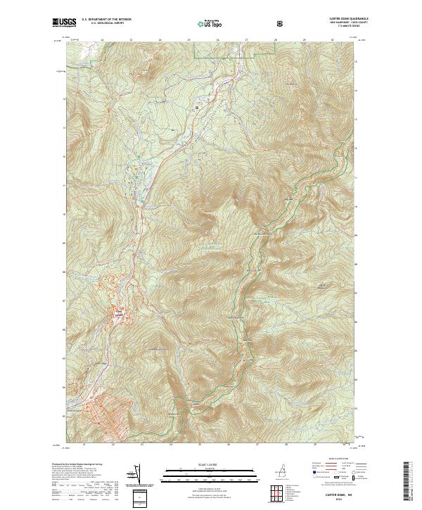
2024 Map of Carter Dome
USGS Topo · Published 2024About this map
White Mountain National Forest dominates this topographic study of the New Hampshire high country, centered on the formidable ridgeline of the Carter-Moriah Range. The terrain is defined by extreme elevation changes between the Peabody River valley and peaks like Carter Dome and Mt Moriah. A historic center of mountain hospitality, Glen House serves as a primary landmark near the base of the Mt Washington Auto Road.
Find a feature on this map
68 named features on this map. Tap any name to fly to it.
Don’t see what you’re looking for? This feature index may not catch every label — zoom into the map to look around manually.
Map Details
Editions of this 2024 Carter Dome Map
This is the sole edition of this map. No revisions or reprints were ever made.
Other maps of this area

1893 · Mt. Washington
USGS Topo · 1:62,500

1893 · Gorham
USGS Topo · 1:62,500

1894 · North Conway
USGS Topo · 1:62,500

1895 · Crawford Notch
USGS Topo · 1:62,500

1896 · Mt. Washington
USGS Topo · 1:62,500

1896 · Crawford Notch
USGS Topo · 1:62,500

1896 · North Conway
USGS Topo · 1:62,500

1896 · Gorham
USGS Topo · 1:62,500

1935 · Mt. Washington
USGS Topo · 1:62,500

1937 · Gorham
USGS Topo · 1:48,000