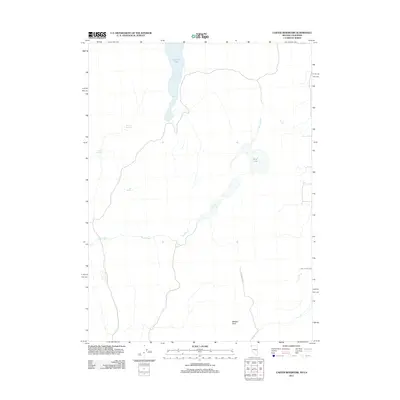
2011 Map of Carter Reservoir
USGS Topo · Published 2011About this map
Applegate Trl marks a significant historical path through this high desert region of Nevada and California, providing a window into the routes utilized by early travelers across the arid landscape. The area is defined by its vital water sources, with the elongated Carter Reservoir and Mud Lake serving as central features amidst a network of intermittent drainages like Sand Creek. These water bodies and several smaller springs, such as Big Spring, Juniper Spring, and Willow Springs, were critical for any livestock or ranching operations in this portion of Washoe County.
Find a feature on this map
10 named features on this map. Tap any name to fly to it.
Don’t see what you’re looking for? This feature index may not catch every label — zoom into the map to look around manually.
Map Details
Editions of this 2011 Carter Reservoir Map
This is the sole edition of this map. No revisions or reprints were ever made.
Other maps of this area

1886 · Alturas
USGS Topo · 1:250,000

1889 · Long Valley
USGS Topo · 1:250,000

1892 · Alturas
USGS Topo · 1:250,000

1954 · Vya
USGS Topo · 1:250,000

1954 · Alturas
USGS Topo · 1:250,000

1958 · Alturas
USGS Topo · 1:250,000

1958 · Vya
USGS Topo · 1:250,000

1962 · Alturas
USGS Topo · 1:250,000

1962 · Vya
USGS Topo · 1:250,000

1962 · Cedarville
USGS Topo · 1:62,500