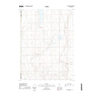
2018 Map of Carter Reservoir
USGS Topo · Published 2018About this map
Long Valley stretches across this high-altitude landscape on the border of California and Nevada. This 2018 survey reveals a terrain defined by ephemeral water sources and seasonal basins, where the Carter Reservoir and the marshy expanse of Mud Lake sit tucked between rising ridgelines. The prominent elevation of Metzker Peak anchors the southern portion of the sheet, overlooking a network of springs including Willow Springs, Juniper Spring, and Big Spring that sustain the local ecology in an otherwise arid environment.
Find a feature on this map
16 named features on this map. Tap any name to fly to it.
Don’t see what you’re looking for? This feature index may not catch every label — zoom into the map to look around manually.
Map Details
Editions of this 2018 Carter Reservoir Map
This is the sole edition of this map. No revisions or reprints were ever made.
Other maps of this area

1886 · Alturas
USGS Topo · 1:250,000

1889 · Long Valley
USGS Topo · 1:250,000

1892 · Alturas
USGS Topo · 1:250,000

1954 · Vya
USGS Topo · 1:250,000

1954 · Alturas
USGS Topo · 1:250,000

1958 · Alturas
USGS Topo · 1:250,000

1958 · Vya
USGS Topo · 1:250,000

1962 · Alturas
USGS Topo · 1:250,000

1962 · Vya
USGS Topo · 1:250,000

1962 · Cedarville
USGS Topo · 1:62,500