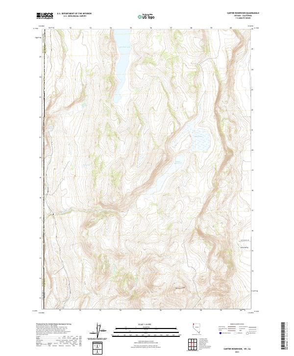
2021 Map of Carter Reservoir
USGS Topo · Published 2021About this map
Metzker Peak anchors the southern portion of this high-desert landscape in northern Washoe County, where the Nevada-California state line bisects the western edge of the survey. The geography is defined by a series of intermittent basins and seasonal water sources, most notably Carter Reservoir and the expansive New Year Lake to the north. These drainage patterns, including Sand Cr, illustrate a terrain where water is the primary sculptor of the local topography.
Find a feature on this map
23 named features on this map. Tap any name to fly to it.
Don’t see what you’re looking for? This feature index may not catch every label — zoom into the map to look around manually.
Map Details
Editions of this 2021 Carter Reservoir Map
This is the sole edition of this map. No revisions or reprints were ever made.
Other maps of this area

1886 · Alturas
USGS Topo · 1:250,000

1889 · Long Valley
USGS Topo · 1:250,000

1892 · Alturas
USGS Topo · 1:250,000

1954 · Vya
USGS Topo · 1:250,000

1954 · Alturas
USGS Topo · 1:250,000

1958 · Alturas
USGS Topo · 1:250,000

1958 · Vya
USGS Topo · 1:250,000

1962 · Alturas
USGS Topo · 1:250,000

1962 · Vya
USGS Topo · 1:250,000

1962 · Cedarville
USGS Topo · 1:62,500