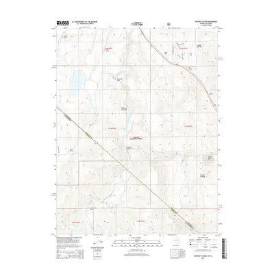
2014 Map of Carters Station
USGS Topo · Published 2014About this map
Carters Station and Carter Springs anchor this portion of the eastern Sierra Nevada foothills, where the high desert meets the rugged transition to the Toiyabe National Forest. The landscape is defined by the winding course of the East Fork Carson River, which carves through Horseshoe Bend as it flows north toward Mud Lake. Local history is visible in the placement of the Washoe Cemetery and the Uhalde Springmeyer Stock Bridge, markers of the ranching and tribal heritage of the Long Valley region. The topography is a complex network of canyons and flats, including Leviathan Canyon and Double Spring Flat, showing the vital water sources like China Spring and Hot Springs that have historically supported life in this arid environment along the Nevada-California border.
Find a feature on this map
41 named features on this map. Tap any name to fly to it.
Don’t see what you’re looking for? This feature index may not catch every label — zoom into the map to look around manually.
Map Details
Editions of this 2014 Carters Station Map
This is the sole edition of this map. No revisions or reprints were ever made.
Other maps of this area

1889 · Markleeville
USGS Topo · 1:125,000

1891 · Markleeville
USGS Topo · 1:125,000

1893 · Markleeville
USGS Topo · 1:125,000

1948 · Walker Lake
USGS Topo · 1:250,000

1956 · Freel Peak
USGS Topo · 1:62,500

1956 · Topaz Lake
USGS Topo · 1:62,500

1956 · Markleeville
USGS Topo · 1:62,500

1957 · Walker Lake
USGS Topo · 1:250,000
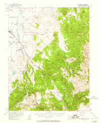
1957 · Mt. Siegel
USGS Topo · 1:62,500

1962 · Walker Lake
USGS Topo · 1:250,000