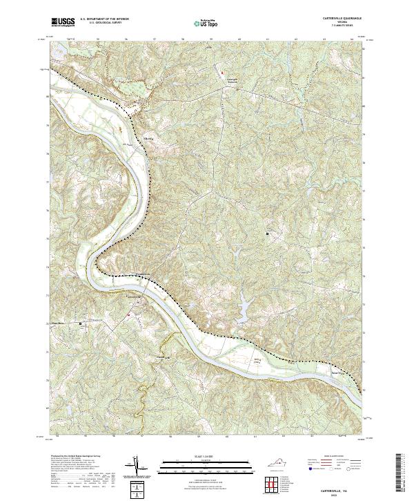
2022 Map of Cartersville
USGS Topo · Published 2022About this map
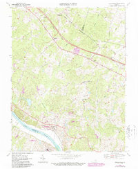
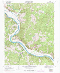
The James River serves as the central artery for this portion of the Virginia piedmont, where the borders of Goochland, Cumberland, and Powhatan counties meet. The settlement of Cartersville sits on the southern bank, connected via bridge to the northern side near the riverbank community of Pemberton. Significant river features like Elk Island and Bolling Island emphasize the waterway's historical importance to transport and agriculture in the region.
Find a feature on this map
74 named features on this map. Tap any name to fly to it.
Don’t see what you’re looking for? This feature index may not catch every label — zoom into the map to look around manually.
Map Details
Editions of this 2022 Cartersville Map
This is the sole edition of this map. No revisions or reprints were ever made.
Historical Maps of Tamworth Through Time
12 maps found
1943 Johnsons Springs
Goochland County, VA
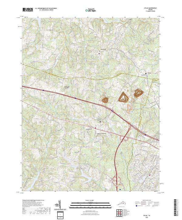
1943 Perkinsville
Goochland County, VA
1944 Johnsons Springs
Goochland County, VA
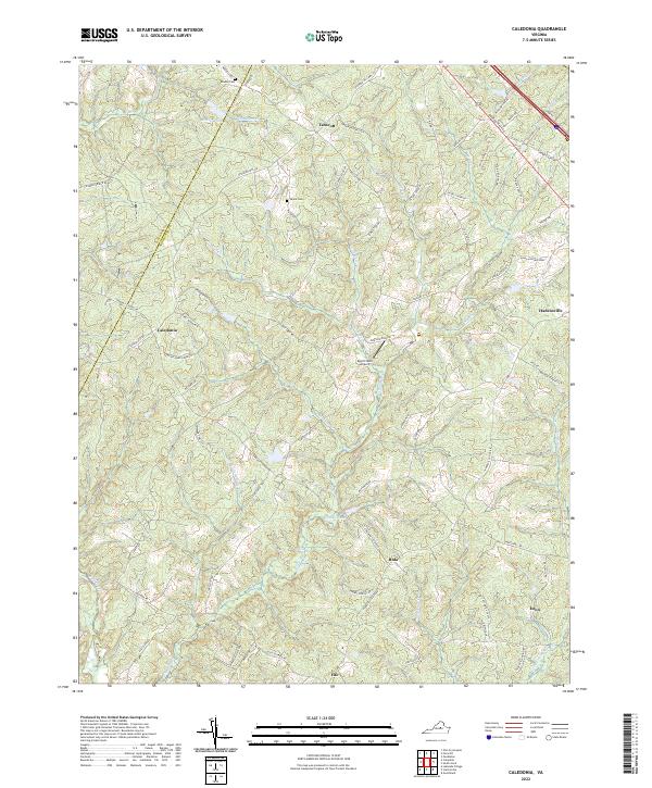
1963 Hylas
Goochland County, VA
1968 Perkinsville
Goochland County, VA
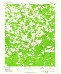
1969 Cartersville
Goochland County, VA
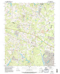
1970 Caledonia
Goochland County, VA
1994 Hylas
Goochland County, VA
2022 Caledonia
Goochland County, VA
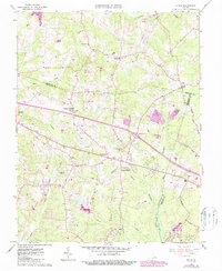
2022 Cartersville
Goochland County, VA
2022 Hylas
Goochland County, VA
2022 Perkinsville
Goochland County, VA