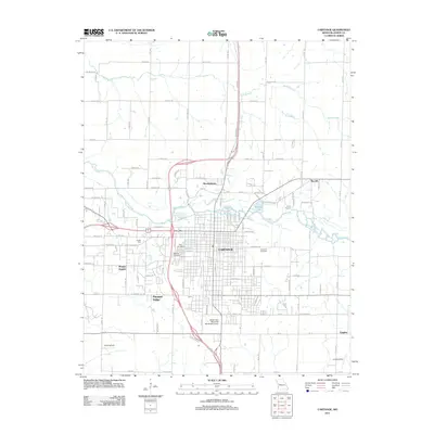
2011 Map of Carthage
USGS Topo · Published 2011About this map
Carthage sits as the central hub of this 2011 Jasper County survey, anchored by the winding course of the Spring River and its tributary, Buck Branch. The city's growth is evident in the residential expansion of outlying communities such as Kendricktown, Morgan Heights, and Pleasant Valley. Local history is preserved through several large burial grounds, including Oak Hill Cemetery, Park Cemetery, and Cedar Hill Cemetery, providing essential data for genealogical research.
Find a feature on this map
59 named features on this map. Tap any name to fly to it.
Don’t see what you’re looking for? This feature index may not catch every label — zoom into the map to look around manually.
Map Details
Editions of this 2011 Carthage Map
This is the sole edition of this map. No revisions or reprints were ever made.
Other maps of this area

1886 · Carthage
USGS Topo · 1:125,000

1894 · Carthage
USGS Topo · 1:125,000

1921 · Sarcoxie
USGS Topo · 1:62,500

1947 · Joplin
USGS Topo · 1:250,000

1949 · Joplin
USGS Topo · 1:250,000

1954 · Joplin
USGS Topo · 1:250,000

1958 · Joplin
USGS Topo · 1:250,000

1959 · Joplin
USGS Topo · 1:250,000
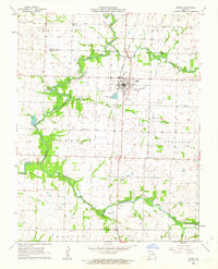
1962 · Jasper
USGS Topo · 1:24,000
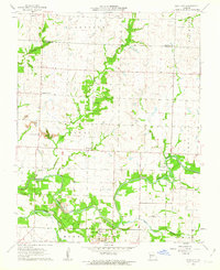
1962 · Neck City
USGS Topo · 1:24,000