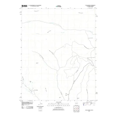
2010 Map of Casa Grande
USGS Topo · Published 2010About this map
Casa Grande sits at the heart of this high-country landscape, where industrial sites meet a complex network of northern New Mexico canyons. The 2010 geography is heavily shaped by regional mining and resource extraction, notably centered around the Kaiser Steel Kaiser Plant and various operations in York Canyon. Traces of this industry are evident at the West York Strip, York Canyon Number 1, and the York Canyon Prospect, showing the heavy footprint of the steel and coal sectors in Colfax County. Beyond the industrial zones, the map reveals a rugged natural drainage system where the Vermejo River and Canadian River are fed by numerous named corridors like Patton Creek and Lorencito Canyon. Vermejo Park and Butler Flats offer a contrast to the industrial works, providing a look at the expansive open spaces that characterize this part of the state near the Colorado border.
Find a feature on this map
25 named features on this map. Tap any name to fly to it.
Don’t see what you’re looking for? This feature index may not catch every label — zoom into the map to look around manually.
Map Details
Editions of this 2010 Casa Grande Map
This is the sole edition of this map. No revisions or reprints were ever made.
Other maps of this area

1891 · Spanish Peaks
USGS Topo · 1:125,000

1893 · Spanish Peaks
USGS Topo · 1:125,000

1895 · Spanish Peaks
USGS Topo · 1:125,000

1897 · Spanish Peaks
USGS Topo · 1:125,000

1900 · Spanish Peaks
USGS Topo · 1:125,000

1954 · Raton
USGS Topo · 1:250,000

1954 · Trinidad
USGS Topo · 1:250,000

1955 · Trinidad
USGS Topo · 1:250,000

1958 · Raton
USGS Topo · 1:250,000

1958 · Trinidad
USGS Topo · 1:250,000