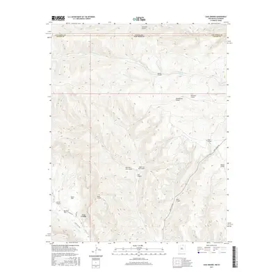
2017 Map of Casa Grande
USGS Topo · Published 2017About this map
Vermejo Park and the small settlement of Casa Grande anchor the southwestern corner of this landscape, where the high plains of northern New Mexico meet the Colorado border. The terrain is defined by a dense network of steep drainages, including the Canadian River and the Vermejo River, which carve through the high country. A complex series of canyons, such as Stubblefield Canyon and Penitente Canyon, dominate the central topography, while Butler Flats provides a rare level landing above the deeper draws. The road network is sparse, centered primarily on York Canyon Rd and the appropriately named School House Rd, reflecting a landscape dedicated to ranching and open space. The northern margin of the map traces the state line between Colorado and New Mexico, highlighting the intersection of Colfax and Las Animas counties.
Find a feature on this map
24 named features on this map. Tap any name to fly to it.
Don’t see what you’re looking for? This feature index may not catch every label — zoom into the map to look around manually.
Map Details
Editions of this 2017 Casa Grande Map
This is the sole edition of this map. No revisions or reprints were ever made.
Other maps of this area

1891 · Spanish Peaks
USGS Topo · 1:125,000

1893 · Spanish Peaks
USGS Topo · 1:125,000

1895 · Spanish Peaks
USGS Topo · 1:125,000

1897 · Spanish Peaks
USGS Topo · 1:125,000

1900 · Spanish Peaks
USGS Topo · 1:125,000

1954 · Raton
USGS Topo · 1:250,000

1954 · Trinidad
USGS Topo · 1:250,000

1955 · Trinidad
USGS Topo · 1:250,000

1958 · Raton
USGS Topo · 1:250,000

1958 · Trinidad
USGS Topo · 1:250,000