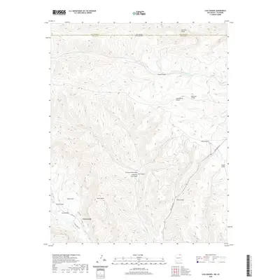
2020 Map of Casa Grande
USGS Topo · Published 2020About this map
Vermejo Park and the small settlement of Casa Grande anchor this 2020 landscape where the high-altitude terrain of Colfax County meets the Colorado border. The topography is defined by a dense network of drainages, most notably the Canadian River and the Vermejo River, which carve through deep canyons such as Lorencito and Patten Canyon. The road network is sparse, centered on York Canyon Rd and local connectors like School House Rd and Gazebo Rd.
Find a feature on this map
24 named features on this map. Tap any name to fly to it.
Don’t see what you’re looking for? This feature index may not catch every label — zoom into the map to look around manually.
Map Details
Editions of this 2020 Casa Grande Map
This is the sole edition of this map. No revisions or reprints were ever made.
Other maps of this area

1891 · Spanish Peaks
USGS Topo · 1:125,000

1893 · Spanish Peaks
USGS Topo · 1:125,000

1895 · Spanish Peaks
USGS Topo · 1:125,000

1897 · Spanish Peaks
USGS Topo · 1:125,000

1900 · Spanish Peaks
USGS Topo · 1:125,000

1954 · Raton
USGS Topo · 1:250,000

1954 · Trinidad
USGS Topo · 1:250,000

1955 · Trinidad
USGS Topo · 1:250,000

1958 · Raton
USGS Topo · 1:250,000

1958 · Trinidad
USGS Topo · 1:250,000