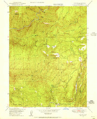
1948 Map of Cascade
USGS Topo · Published 1955About this map
Middle Fork Feather River and the South Fork Feather River carve through the steep topography of the Plumas National Forest in this post-war landscape. The map captures a moment when the regional economy was tied to timber and remote outposts, featuring the industrial presence of the Feather River Railway and various named residences and camps like Camp Eighteen. Small settlements and landmarks often named for local figures dot the ridges and canyons, including Hansons Bar, Jackson Ranch, and Nelsons Crossing.
Find a feature on this map
50 named features on this map. Tap any name to fly to it.
Don’t see what you’re looking for? This feature index may not catch every label — zoom into the map to look around manually.
Map Details
Editions of this 1948 Cascade Map
4 editions found
Other maps of this area

1888 · Bidwell Bar
USGS Topo · 1:125,000

1891 · Bidwell Bar
USGS Topo · 1:125,000

1893 · Bidwell Bar
USGS Topo · 1:125,000

1895 · Bidwell Bar
USGS Topo · 1:125,000

1897 · Bidwell Bar
USGS Topo · 1:125,000
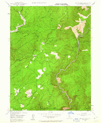
1947 · Brush Creek
USGS Topo · 1:24,000

1948 · Big Bend Mtn
USGS Topo · 1:62,500
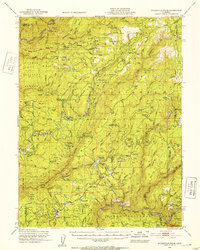
1948 · Mooreville Ridge
USGS Topo · 1:62,500
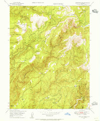
1948 · American House
USGS Topo · 1:24,000
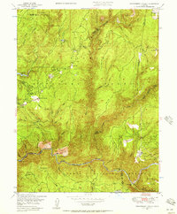
1948 · Strawberry Valley
USGS Topo · 1:24,000