Loading...
Loading map...2022 Map of Cascade
USGS Topo · Published 2022About this map
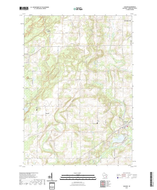
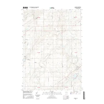
The Onion River and the North Branch Milwaukee River define the glacial hydrology of this Sheboygan County landscape. This 2022 survey details the complex terrain formed during the last ice age, featuring the prominent Parnell Esker and the Greenbush Kettle, both vital landmarks for understanding the regional geomorphology. The Ice Age National Scenic Trail winds through these landforms, connecting the small settlement of Parnell with the surrounding ridges and depressions.
Find a feature on this map
84 named features on this map. Tap any name to fly to it.
Don’t see what you’re looking for? This feature index may not catch every label — zoom into the map to look around manually.
Map Details
Date Portrayed2022
Date Published2022
PublisherU.S. Geological Survey
Map TypeTopographic
Scale1:24,000
Physical Dimensions24 x 29 inches
Editions of this 2022 Cascade Map
This is the sole edition of this map. No revisions or reprints were ever made.
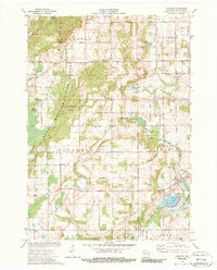
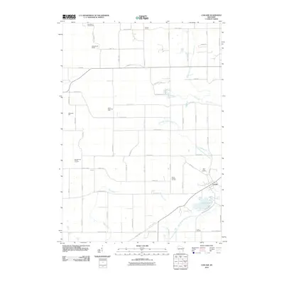
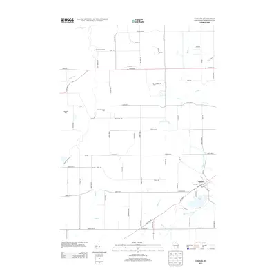
Historical Maps of Greenbush Through Time
6 maps found

Featured Locations
Source Details
SourceU.S. Geological Survey
CopyrightPublic Domain