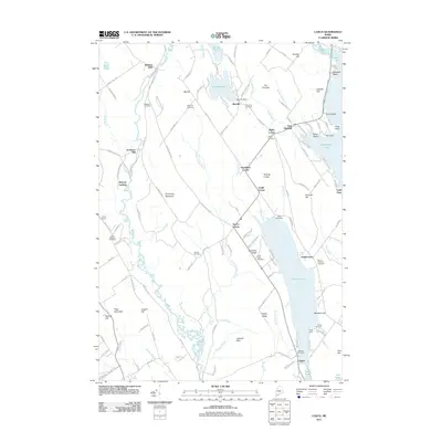
2011 Map of Casco
USGS Topo · Published 2011About this map
Pleasant Lake and the serpentine course of the Crooked River define the local geography of this central Maine region. The landscape is dotted with small, long-established hamlets like Bolsters Mills, Rayville, and Spurrs Corner, each serving as a focal point for the surrounding rural roads. Industrial history is evident along the water, from the Rayville Dam to the site of Scribners Mill, reflecting a time when local waterways powered the timber and milling economy.
Find a feature on this map
144 named features on this map. Tap any name to fly to it.
Don’t see what you’re looking for? This feature index may not catch every label — zoom into the map to look around manually.
Map Details
Editions of this 2011 Casco Map
This is the sole edition of this map. No revisions or reprints were ever made.
Other maps of this area

1894 · Gray
USGS Topo · 1:62,500

1896 · Norway
USGS Topo · 1:62,500

1896 · Sebago
USGS Topo · 1:62,500

1898 · Gray
USGS Topo · 1:62,500

1908 · Poland
USGS Topo · 1:62,500

1940 · Poland
USGS Topo · 1:62,500

1942 · Poland
USGS Topo · 1:62,500

1942 · Gray
USGS Topo · 1:62,500

1942 · Sebago Lake
USGS Topo · 1:62,500

1943 · Sebago Lake
USGS Topo · 1:62,500