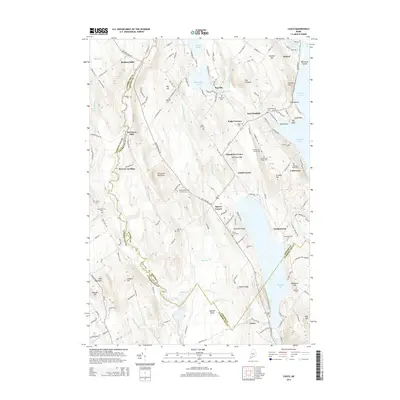
2014 Map of Casco
USGS Topo · Published 2014About this map
The Crooked River snakes through the landscape, forming the natural boundary between Cumberland and Oxford Counties. This 2014 survey documents the enduring layout of rural settlements such as Bolsters Mills, Rayville, and Casco. The mapping detail captures the historical footprint of the area's timber and water-powered industries, most notably at Scribners Mill and Merrow Landing. Numerous family-named landmarks and cemeteries provide critical touchpoints for local heritage, including Scribner Hill, Sylvester Ridge, and the Hoyt Edwards Family Cem. To the east, the shoreline of Thompson Lake and the waters of Pleasant Lake define the region's topography. The map illustrates how local routes like Bolsters Mills Rd and Otisfield Cove Rd connect these established communities across the ridges of Porcupine Mountain and Greeley Hill.
Find a feature on this map
168 named features on this map. Tap any name to fly to it.
Don’t see what you’re looking for? This feature index may not catch every label — zoom into the map to look around manually.
Map Details
Editions of this 2014 Casco Map
This is the sole edition of this map. No revisions or reprints were ever made.
Other maps of this area

1894 · Gray
USGS Topo · 1:62,500

1896 · Norway
USGS Topo · 1:62,500

1896 · Sebago
USGS Topo · 1:62,500

1898 · Gray
USGS Topo · 1:62,500

1908 · Poland
USGS Topo · 1:62,500

1940 · Poland
USGS Topo · 1:62,500

1942 · Poland
USGS Topo · 1:62,500

1942 · Gray
USGS Topo · 1:62,500

1942 · Sebago Lake
USGS Topo · 1:62,500

1943 · Sebago Lake
USGS Topo · 1:62,500