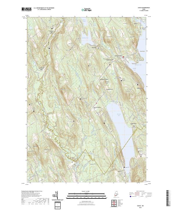
2024 Map of Casco
USGS Topo · Published 2024About this map
Scribners Mill and Bolsters Mills anchor the western reaches of this landscape, situated along the winding path of the Crooked River. The area is characterized by a high concentration of generational burial grounds and small hamlets that reflect a long-standing rural settlement pattern across the boundary of Oxford and Cumberland counties. Numerous cemeteries, including the Scribner Hill Upper Yard Cem, Hoyt Edwards Family Cem, and Mayberry Hill Cem, suggest deep genealogical roots in the hills surrounding Pleasant Lake and Thompson Lake. The terrain is marked by distinctive elevations such as Porcupine Mtn and Fogg Mtn, with local centers like Spurrs Corner and Rayville providing focal points for the road network. To the south, the village of Casco sits near Lakeside Cem, while the northern hills lead toward Oxford and Canada Hill.
Find a feature on this map
170 named features on this map. Tap any name to fly to it.
Don’t see what you’re looking for? This feature index may not catch every label — zoom into the map to look around manually.
Map Details
Editions of this 2024 Casco Map
This is the sole edition of this map. No revisions or reprints were ever made.
Other maps of this area

1894 · Gray
USGS Topo · 1:62,500

1896 · Norway
USGS Topo · 1:62,500

1896 · Sebago
USGS Topo · 1:62,500

1898 · Gray
USGS Topo · 1:62,500

1908 · Poland
USGS Topo · 1:62,500

1940 · Poland
USGS Topo · 1:62,500

1942 · Poland
USGS Topo · 1:62,500

1942 · Gray
USGS Topo · 1:62,500

1942 · Sebago Lake
USGS Topo · 1:62,500

1943 · Sebago Lake
USGS Topo · 1:62,500