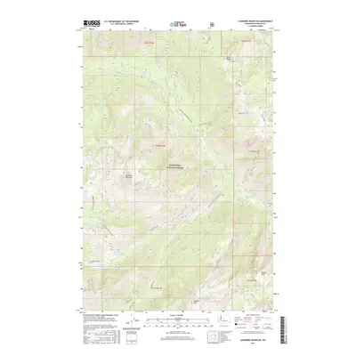
2017 Map of Cashmere Mountain
USGS Topo · Published 2017About this map
Icicle Creek carves a deep valley through the northern section of this territory, framed by the soaring elevations of Icicle Ridge. Located within the Wenatchee National Forest, the landscape is defined by its dramatic alpine hydrology, where numerous high-altitude basins hold isolated water bodies like Lake Victoria, Lake Ruth, and the mirrored waters of Colchuck Lake at the base of the peaks.
Find a feature on this map
42 named features on this map. Tap any name to fly to it.
Don’t see what you’re looking for? This feature index may not catch every label — zoom into the map to look around manually.
Map Details
Editions of this 2017 Cashmere Mountain Map
This is the sole edition of this map. No revisions or reprints were ever made.
Other maps of this area

1897 · Mount Stuart
USGS Topo · 1:125,000

1901 · Chiwaukum
USGS Topo · 1:125,000

1902 · Mount Stuart
USGS Topo · 1:125,000

1904 · Chiwaukum
USGS Topo · 1:125,000

1957 · Wenatchee
USGS Topo · 1:250,000

1961 · Liberty
USGS Topo · 1:62,500

1961 · Mount Stuart
USGS Topo · 1:62,500

1964 · Leavenworth
USGS Topo · 1:62,500

1965 · Chiwaukum Mts
USGS Topo · 1:62,500

1975 · Wenatchee
USGS Topo · 1:100,000