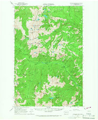
1965 Map of Chiwaukum Mts
USGS Topo · Published 1967About this map
Chiwaukum Mountains rise sharply across the center of this mid-1960s survey, marking a formidable boundary between Chelan and Kittitas counties. The landscape is defined by a dense network of high-elevation water bodies, including Loch Eileen, Chiwaukum Lake, and the Big Jim Lakes, many accessible only via the numerous pack trails that crisscross the Wenatchee National Forest. This era shows a transition toward organized backcountry recreation, evidenced by a series of roadside sites like Johnny Creek Campground and Ida Creek Campground. The Van Epps Mine in the southwest corner serves as a reminder of earlier prospecting efforts in the remote high country. The surveying by photogrammetric methods captures the intricate drainage patterns of French Creek and Chiwaukum Creek, illustrating the complex alpine geography of the Cascade Range before modern expansion.
Find a feature on this map
114 named features on this map. Tap any name to fly to it.
Don’t see what you’re looking for? This feature index may not catch every label — zoom into the map to look around manually.
Map Details
Editions of this 1965 Chiwaukum Mts Map
2 editions found

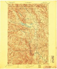
Other maps of this area

1897 · Mount Stuart
USGS Topo · 1:125,000

1901 · Chiwaukum
USGS Topo · 1:125,000

1901 · Snoqualmie Pass
USGS Topo · 1:125,000

1902 · Skykomish
USGS Topo · 1:125,000

1902 · Mount Stuart
USGS Topo · 1:125,000

1903 · Snoqualmie
USGS Topo · 1:125,000
1904 · Chiwaukum
USGS Topo · 1:125,000

1905 · Skykomish
USGS Topo · 1:125,000

1957 · Wenatchee
USGS Topo · 1:250,000
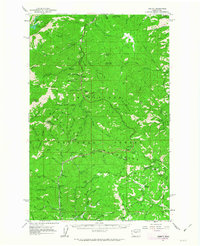
1961 · Liberty
USGS Topo · 1:62,500