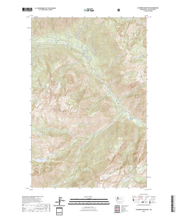
2023 Map of Cashmere Mountain
USGS Topo · Published 2023About this map
Cashmere Mtn and the high ridges of the Alpine Lakes Wilderness dominate this high-elevation landscape within the Wenatchee National Forest. The map detail follows the intricate drainage basins of Icicle Creek and its many tributaries, including Eightmile Creek and Mountaineer Creek. This is a terrain of alpine basins and granite peaks, where high-altitude water bodies like Eightmile Lake, Lake Caroline, and Colchuck Lake are connected by a network of established footpaths. Long-established routes like the Eightmile Lake Trl and Stuart Lake Trl navigate the steep gradients between summits such as Cannon Mtn and Edward Peak. The layout reveals the transition from the protected wilderness areas to the deep river valleys, tracing the natural divide formed by Icicle Ridge.
Find a feature on this map
45 named features on this map. Tap any name to fly to it.
Don’t see what you’re looking for? This feature index may not catch every label — zoom into the map to look around manually.
Map Details
Editions of this 2023 Cashmere Mountain Map
This is the sole edition of this map. No revisions or reprints were ever made.
Other maps of this area

1897 · Mount Stuart
USGS Topo · 1:125,000

1901 · Chiwaukum
USGS Topo · 1:125,000

1902 · Mount Stuart
USGS Topo · 1:125,000

1904 · Chiwaukum
USGS Topo · 1:125,000

1957 · Wenatchee
USGS Topo · 1:250,000

1961 · Liberty
USGS Topo · 1:62,500

1961 · Mount Stuart
USGS Topo · 1:62,500

1964 · Leavenworth
USGS Topo · 1:62,500

1965 · Chiwaukum Mts
USGS Topo · 1:62,500

1975 · Wenatchee
USGS Topo · 1:100,000