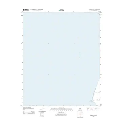
2012 Map of Casmalia OE W
USGS Topo · Published 2012About this map
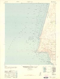
The coastal waters of the Pacific Ocean dominate this 2012 maritime study, which captures the shoreline as it appeared in the early 21st century. The map is primarily an offshore record, focusing on the depths and coordinates of the sea west of the California coast. On the small sliver of land visible in the southeast corner, Purisima Point extends into the surf, providing a rare terrestrial anchor for this largely oceanic sheet. This specific projection by the U.S. Geological Survey is essential for researchers or collectors tracing the exact bathymetric and coastal boundaries of Santa Barbara County in this era.
Find a feature on this map
2 named features on this map. Tap any name to fly to it.
Don’t see what you’re looking for? This feature index may not catch every label — zoom into the map to look around manually.
Map Details
Editions of this 2012 Casmalia OE W Map
This is the sole edition of this map. No revisions or reprints were ever made.
Other maps of this area

1905 · Guadalupe
USGS Topo · 1:125,000

1942 · Point Arguello
USGS Topo · 1:62,500

1942 · Guadalupe
USGS Topo · 1:125,000

1942 · Point Sal
USGS Topo · 1:62,500
1947 · Casmalia
USGS Topo · 1:24,000
1947 · Guadalupe
USGS Topo · 1:24,000

1947 · Surf
USGS Topo · 1:24,000
1947 · Point Arguello
USGS Topo · 1:62,500
1947 · Point Sal
USGS Topo · 1:62,500
1948 · Point Sal
USGS Topo · 1:24,000