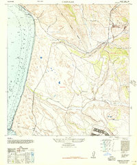
1947 Map of Casmalia
USGS Topo · Published 1947About this map
Jesus Maria and the surrounding ranch lands define this coastal stretch of Santa Barbara County in the late 1940s. The landscape is marked by the infrastructure of the Southern Pacific (Coast Division) railroad, which winds through Schumann Canyon and connects the settlements of Casmalia, Schumann, and Narlan. The map captures a moment of military and industrial transition, showing the Casmalia Military Reservation and the Todos Santos San Antonio Military Reservation alongside established ranching at Marshallia Ranch. To the south, San Antonio Creek cuts through the terrain toward the Pacific Ocean, while the development of Burton Mesa and scattered Oil sites indicate the region's mid-century economic activities. From the high point of Lions Head down to the rail siding at Tangair, the survey documents a sparsely populated but strategically utilized coastal environment.
Find a feature on this map
21 named features on this map. Tap any name to fly to it.
Don’t see what you’re looking for? This feature index may not catch every label — zoom into the map to look around manually.
Map Details
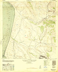
Editions of this 1947 Casmalia Map
2 editions found
Other maps of this area

1905 · Guadalupe
USGS Topo · 1:125,000

1905 · Lompoc
USGS Topo · 1:125,000

1942 · Point Arguello
USGS Topo · 1:62,500

1942 · Guadalupe
USGS Topo · 1:125,000

1942 · Lompoc
USGS Topo · 1:125,000

1942 · Lompoc
USGS Topo · 1:62,500

1942 · Santa Maria
USGS Topo · 1:62,500

1942 · Point Sal
USGS Topo · 1:62,500

1943 · Lompoc
USGS Topo · 1:125,000

1947 · Lompoc
USGS Topo · 1:24,000