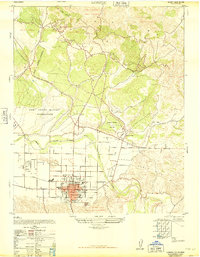
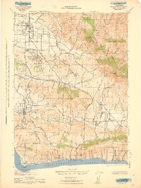
1947 Map of Lompoc
USGS Topo · Published 1947About this map
Lompoc sits at the heart of this post-war transition, where the grid of the city meets the broad valley of the Santa Ynez River. The landscape is dominated by large-scale land grants and military oversight, with the Camp Cooke Military Reservation and the Military Reservation (Approximate) occupying significant acreage to the west and north. Within the town, civic life is anchored by the Veterans Memorial Building, the Public Library, and educational centers like Lompoc High School.
Find a feature on this map
27 named features on this map. Tap any name to fly to it.
Don’t see what you’re looking for? This feature index may not catch every label — zoom into the map to look around manually.
Map Details
Editions of this 1947 Lompoc Map
This is the sole edition of this map. No revisions or reprints were ever made.
Other maps of this area

1905 · Guadalupe
USGS Topo · 1:125,000

1905 · Lompoc
USGS Topo · 1:125,000

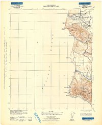
1942 · Point Arguello
USGS Topo · 1:62,500
1942 · Guadalupe
USGS Topo · 1:125,000

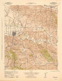
1942 · Lompoc
USGS Topo · 1:125,000
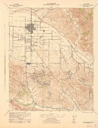
1942 · Lompoc
USGS Topo · 1:62,500
1942 · Santa Maria
USGS Topo · 1:62,500

1942 · Point Sal
USGS Topo · 1:62,500
1943 · Lompoc
USGS Topo · 1:125,000
1947 · Careaga Canyon
USGS Topo · 1:24,000