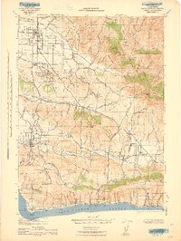
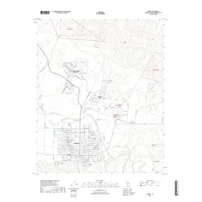
1959 Map of Lompoc
USGS Topo · Published 1967About this map
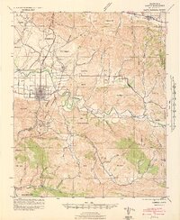
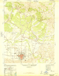
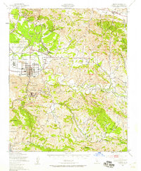
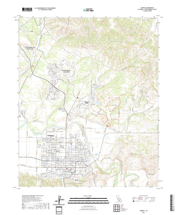
The La Purisima Mission State Historical Monument and the original Mission La Purisima Concepcion anchor this mid-century survey of the Santa Ynez Valley. During the late 1950s, the region was defined by a mix of historical land grants, such as Rancho San Julian, and the growing military presence at Vandenberg Air Force Base and the Branch U S Disciplinary Barracks Military Reservation. The city of Lompoc appears as a dense grid of development served by the Southern Pacific railroad and the Pacific Coast Highway.
Find a feature on this map
80 named features on this map. Tap any name to fly to it.
Don’t see what you’re looking for? This feature index may not catch every label — zoom into the map to look around manually.
Map Details
Editions of this 1959 Lompoc Map
2 editions found
Historical Maps of Lompoc Through Time
12 maps found
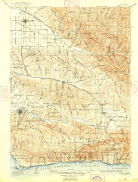
1905 Lompoc
Santa Barbara County, CA
1942 Lompoc
Santa Barbara County, CA

1942 Lompoc
Santa Barbara County, CA
1943 Lompoc
Santa Barbara County, CA
1947 Lompoc
Santa Barbara County, CA
1947 Lompoc
Santa Barbara County, CA
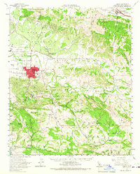
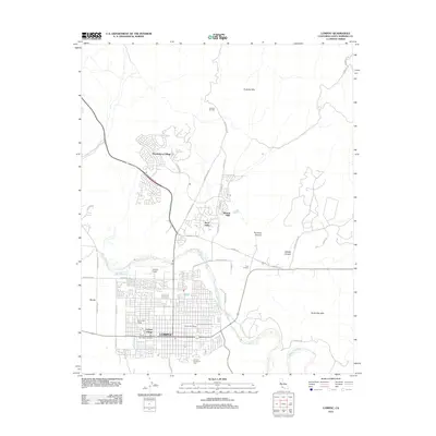
1959 Lompoc
Santa Barbara County, CA
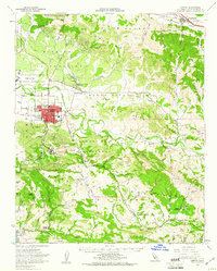
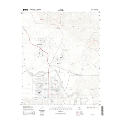
1959 Lompoc
Santa Barbara County, CA
2012 Lompoc
Santa Barbara County, CA
2015 Lompoc
Santa Barbara County, CA
2018 Lompoc
Santa Barbara County, CA
2021 Lompoc
Santa Barbara County, CA