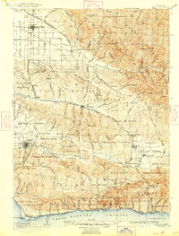
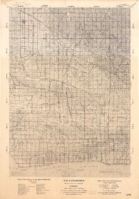
1905 Map of Lompoc
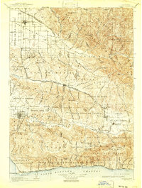
USGS Topo · Published 1947About this map
Santa Maria and the Santa Maria Valley anchor the northern landscape of this Central Coast survey, revealing an era when resource extraction and ranching were the primary economic drivers. Early industrial activity is recorded through the Union Oil Wells near Divide and an Asphaltum Mine near Sisquoc. The presence of the Pacific Coast Ry and the Southern Pacific RR underscores the importance of rail in connecting these coastal valleys to wider markets.
Find a feature on this map
164 named features on this map. Tap any name to fly to it.
Don’t see what you’re looking for? This feature index may not catch every label — zoom into the map to look around manually.
Map Details
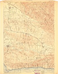
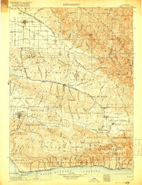
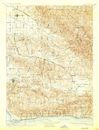
Editions of this 1905 Lompoc Map
7 editions found
Other maps of this area

1897 · Arroyo Grande
USGS Topo · 1:62,500

1900 · San Luis
USGS Topo · 1:125,000

1902 · Santa Ynez
USGS Topo · 1:125,000

1905 · Guadalupe
USGS Topo · 1:125,000

1905 · Santa Ynez
USGS Topo · 1:125,000

1905 · Lompoc
USGS Topo · 1:125,000

1912 · McKittrick
USGS Topo · 1:125,000

1922 · Nipomo
USGS Topo · 1:62,500

1937 · Branch Mtn
USGS Topo · 1:48,000
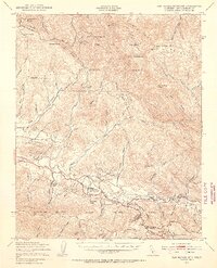
1941 · San Rafael Mtn.
USGS Topo · 1:62,500