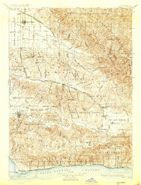
1905 Map of Lompoc
USGS Topo · Published 1931About this map
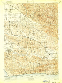
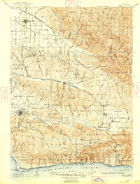
Santa Maria and the surrounding valley anchor the northern reaches of this survey, which traces the complex Spanish land grant boundaries and agricultural development of early twentieth-century Santa Barbara County. The landscape is defined by the Santa Ynez River and Santa Maria River systems, where narrow-gauge rail infrastructure like the Pacific Coast Ry connects coastal landings to inland settlements such as Los Alamos and Los Olivos. The transition from coastal plains to the high country of the Santa Barbara National Forest is clearly visible, punctuated by landmarks like Zaca Lake and the Asphaltum Mine.
Find a feature on this map
86 named features on this map. Tap any name to fly to it.
Don’t see what you’re looking for? This feature index may not catch every label — zoom into the map to look around manually.
Map Details
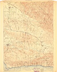
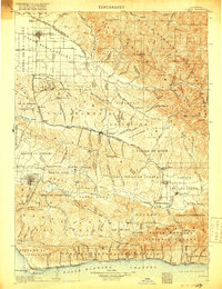
Editions of this 1905 Lompoc Map
7 editions found
Other maps of this area

1897 · Arroyo Grande
USGS Topo · 1:62,500

1900 · San Luis
USGS Topo · 1:125,000

1902 · Santa Ynez
USGS Topo · 1:125,000

1905 · Guadalupe
USGS Topo · 1:125,000

1905 · Santa Ynez
USGS Topo · 1:125,000

1905 · Lompoc
USGS Topo · 1:125,000

1912 · McKittrick
USGS Topo · 1:125,000

1922 · Nipomo
USGS Topo · 1:62,500

1937 · Branch Mtn
USGS Topo · 1:48,000

1941 · San Rafael Mtn.
USGS Topo · 1:62,500