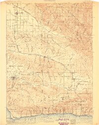
1905 Map of Lompoc
USGS Topo · Published 1911About this map
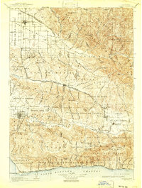
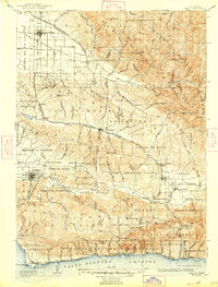
Santa Barbara County ranchos and rail lines define this coastal landscape at the start of the twentieth century, stretching from the Santa Maria River down to the Punta de la Concepcion. The early industrial development of the region is evident in the Union Oil Wells near Orcutt and the Asphaltum Mine east of Los Alamos. Cultural history is anchored by the presence of Mission La Purisima and La Mision Vieja de la Purisima near Lompoc, as well as the Santa Ynez Mission further inland. The narrow-gauge Pacific Coast R R serves the interior valleys, while the Southern Pacific R R follows the coastline through Gaviota Pass. This survey illustrates the transition from traditional land grants like Corral de Quati and Los Alamos into a network of established settlements and modern infrastructure.
Find a feature on this map
154 named features on this map. Tap any name to fly to it.
Don’t see what you’re looking for? This feature index may not catch every label — zoom into the map to look around manually.
Map Details
Editions of this 1905 Lompoc Map
7 editions found
Other maps of this area

1897 · Arroyo Grande
USGS Topo · 1:62,500

1900 · San Luis
USGS Topo · 1:125,000

1902 · Santa Ynez
USGS Topo · 1:125,000

1905 · Guadalupe
USGS Topo · 1:125,000

1905 · Santa Ynez
USGS Topo · 1:125,000

1905 · Lompoc
USGS Topo · 1:125,000

1912 · McKittrick
USGS Topo · 1:125,000

1922 · Nipomo
USGS Topo · 1:62,500

1937 · Branch Mtn
USGS Topo · 1:48,000

1941 · San Rafael Mtn.
USGS Topo · 1:62,500