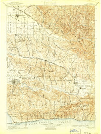
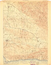
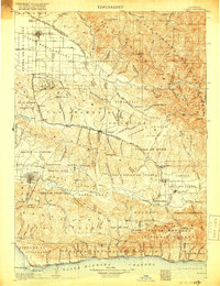
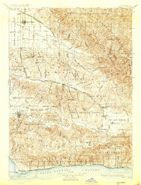
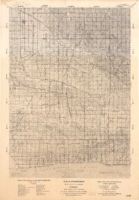
1905 Map of Lompoc
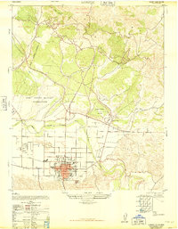
USGS Topo · Published 1941About this map
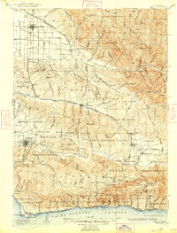
Santa Maria and the coastal plains of northern Santa Barbara County are captured here during an era of significant industrial and agricultural transition. The map details the early development of the region's petroleum and mineral resources, specifically noting the Union Oil Wells near Mt Solomon and the Asphaltum Mine tucked into the canyons near Sisquoc River. The inland valleys are connected by a network of early transportation routes, including the Pacific Coast Ry serving Los Alamos and the Southern Pacific RR tracing the coastline toward Pt Conception.
Find a feature on this map
130 named features on this map. Tap any name to fly to it.
Don’t see what you’re looking for? This feature index may not catch every label — zoom into the map to look around manually.
Map Details
Editions of this 1905 Lompoc Map
7 editions found

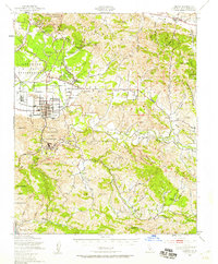
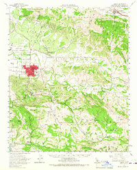
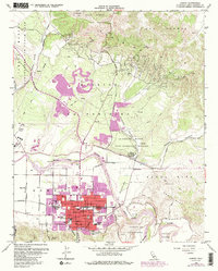
Historical Maps of Santa Maria Through Time
12 maps found
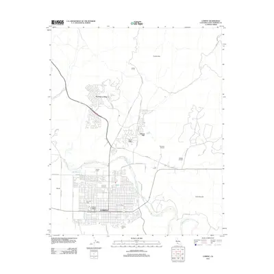
1905 Lompoc
Santa Barbara County, CA
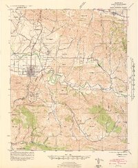
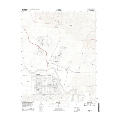
1942 Lompoc
Santa Barbara County, CA

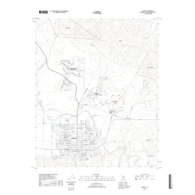
1942 Lompoc
Santa Barbara County, CA
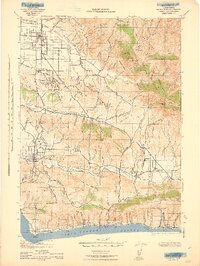
1943 Lompoc
Santa Barbara County, CA
1947 Lompoc
Santa Barbara County, CA
1947 Lompoc
Santa Barbara County, CA
1959 Lompoc
Santa Barbara County, CA
1959 Lompoc
Santa Barbara County, CA
2012 Lompoc
Santa Barbara County, CA
2015 Lompoc
Santa Barbara County, CA
2018 Lompoc
Santa Barbara County, CA
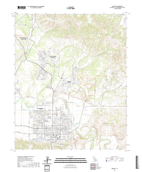
2021 Lompoc
Santa Barbara County, CA