2018 Map of Casmalia OE W
USGS Topo · Published 2018About this map
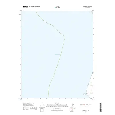
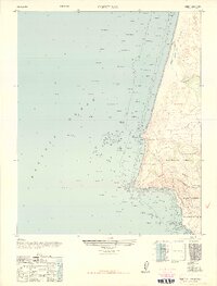
The vast expanse of the Pacific Ocean dominates this maritime survey, providing a focused view of the waters off the Central California coast. The map is defined by its coastal boundary, where the shoreline meets the open sea at Purisima Point. This particular projection emphasizes the nautical approaches to the Santa Barbara County shoreline, serving as a clean record of the littoral geography and the interface between land and sea as they existed in 2018. The minimal terrestrial detail highlights the isolation of this specific coastal protrusion, making it a distinct reference for studying the geomorphology of the immediate shoreline and its surrounding marine environment.
Find a feature on this map
2 named features on this map. Tap any name to fly to it.
Don’t see what you’re looking for? This feature index may not catch every label — zoom into the map to look around manually.
Map Details
Editions of this 2018 Casmalia OE W Map
This is the sole edition of this map. No revisions or reprints were ever made.
Other maps of this area

1905 · Guadalupe
USGS Topo · 1:125,000

1942 · Point Arguello
USGS Topo · 1:62,500

1942 · Guadalupe
USGS Topo · 1:125,000

1942 · Point Sal
USGS Topo · 1:62,500
1947 · Casmalia
USGS Topo · 1:24,000
1947 · Guadalupe
USGS Topo · 1:24,000

1947 · Surf
USGS Topo · 1:24,000
1947 · Point Arguello
USGS Topo · 1:62,500
1947 · Point Sal
USGS Topo · 1:62,500
1948 · Point Sal
USGS Topo · 1:24,000