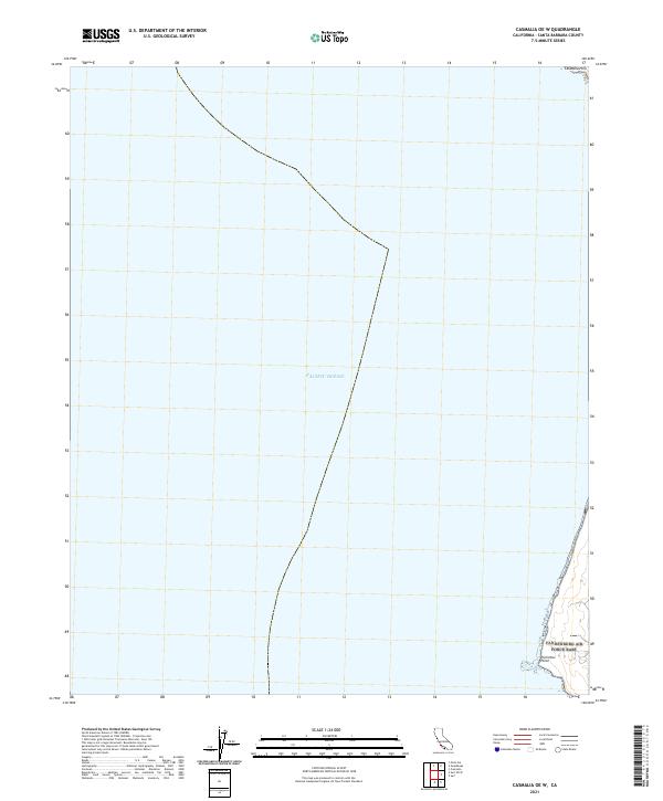
2021 Map of Casmalia OE W
USGS Topo · Published 2021About this map
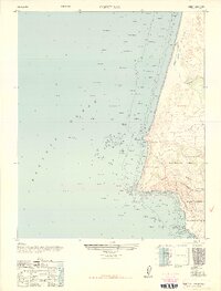
The vast expanse of the Pacific Ocean dominates this maritime survey along the Santa Barbara coastline. The terrestrial area is concentrated on the eastern edge, where the southern slopes of the Casmalia Hills meet the shoreline. A prominent coastal feature is Purisima Point, a rugged projection into the sea that defines the local geography. The map illustrates a largely undeveloped coastline, marked primarily by its natural topographic features and the intersection of township and range lines like T7N R34W and T8N R36W. This 2021 study documents the current interface between the high hills and the ocean, providing a clear view of the headlands and the shoreline as they exist in the modern era.
Find a feature on this map
4 named features on this map. Tap any name to fly to it.
Don’t see what you’re looking for? This feature index may not catch every label — zoom into the map to look around manually.
Map Details
Editions of this 2021 Casmalia OE W Map
This is the sole edition of this map. No revisions or reprints were ever made.
Other maps of this area

1905 · Guadalupe
USGS Topo · 1:125,000

1942 · Point Arguello
USGS Topo · 1:62,500

1942 · Guadalupe
USGS Topo · 1:125,000

1942 · Point Sal
USGS Topo · 1:62,500
1947 · Casmalia
USGS Topo · 1:24,000
1947 · Guadalupe
USGS Topo · 1:24,000

1947 · Surf
USGS Topo · 1:24,000
1947 · Point Arguello
USGS Topo · 1:62,500
1947 · Point Sal
USGS Topo · 1:62,500
1948 · Point Sal
USGS Topo · 1:24,000