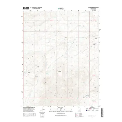
2014 Map of Cass Creek Peak
USGS Topo · Published 2014About this map
Cass Creek Peak and the towering Mt Hillers dominate this high-elevation landscape in Garfield County, defined by a complex drainage network and varied volcanic and sedimentary formations. The 2014 survey reveals a territory where water management is critical, evidenced by the Bastian Reservoir, Coyote Reservoir, and Cass Cr Reservoir. These catchments collect runoff from numerous seasonal streams such as Coyote Cr and Benson Cr that carve through the Coyote Benches and Big Ridge. Historical land-use patterns are visible in the few established routes like Trailcreek Rd and Rainbow Rd which skirt the southern slopes. Notable landmarks including the Cocks Comb and the massive Cockscomb Black Table serve as distinct navigational anchors in this corner of the Henry Mountains region.
Find a feature on this map
45 named features on this map. Tap any name to fly to it.
Don’t see what you’re looking for? This feature index may not catch every label — zoom into the map to look around manually.
Map Details
Editions of this 2014 Cass Creek Peak Map
This is the sole edition of this map. No revisions or reprints were ever made.
Other maps of this area

1885 · San Rafael
USGS Topo · 1:250,000

1886 · Henry Mountains
USGS Topo · 1:250,000

1892 · Henry Mountains
USGS Topo · 1:250,000

1952 · Mt Pennell 1 SW
USGS Topo · 1:24,000

1952 · Mount Ellen 4 SW
USGS Topo · 1:24,000

1952 · Mt Pennell 2 NE
USGS Topo · 1:24,000

1952 · Mt Pennell 1 NE
USGS Topo · 1:24,000

1952 · Mt Hillers
USGS Topo · 1:62,500

1952 · Mt Pennell 1 SE
USGS Topo · 1:24,000

1952 · Mt Pennell 1 NW
USGS Topo · 1:24,000