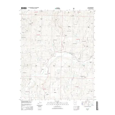
2014 Map of Cass
USGS Topo · Published 2014About this map
The Mulberry River winds through the heart of the Ozark National Forest in this 2014 survey of Franklin County. The topography is defined by numerous named hollows and ridges, including Spy Rock and Whiting Mtn, which frame the small settlements of Cass and Redding. This map is particularly valuable for genealogical research, as it identifies several small family burial grounds such as McIlroy Cem, Turner Cem, and Childers Cem.
Find a feature on this map
79 named features on this map. Tap any name to fly to it.
Don’t see what you’re looking for? This feature index may not catch every label — zoom into the map to look around manually.
Map Details
Editions of this 2014 Cass Map
This is the sole edition of this map. No revisions or reprints were ever made.
Other maps of this area

1879 · Cravens
USGS Topo · 1:62,500

1887 · Watalula
USGS Topo · 1:62,500

1906 · Batson
USGS Topo · 1:62,500

1939 · Watalula
USGS Topo · 1:62,500

1943 · St. Paul
USGS Topo · 1:62,500

1946 · St. Paul
USGS Topo · 1:62,500

1956 · Russellville
USGS Topo · 1:250,000
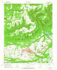
1963 · Hunt
USGS Topo · 1:24,000

1964 · Russellville
USGS Topo · 1:250,000
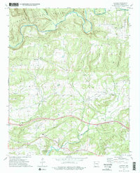
1973 · Cravens
USGS Topo · 1:24,000