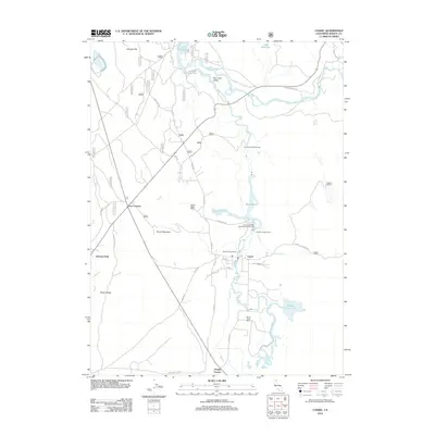
2012 Map of Cassel
USGS Topo · Published 2012About this map
Hat Cr and the Pit River define the hydraulic and economic character of this corner of Shasta County. The landscape is marked by early 21st-century water management and power generation, anchored by the Hat One Powerhouse and Hat Two Powerhouse. Near the center of the sheet, the settlement of Cassel serves as a local hub, situated near the Crystal Lake State Fish Hatchery and Cassel Campground. The presence of Rising River Ranch, Hidden Valley Ranch, and Conrad Ranch points to a legacy of land use tied to the region's spring-fed waters and volcanic topography.
Find a feature on this map
54 named features on this map. Tap any name to fly to it.
Don’t see what you’re looking for? This feature index may not catch every label — zoom into the map to look around manually.
Map Details
Editions of this 2012 Cassel Map
This is the sole edition of this map. No revisions or reprints were ever made.
Other maps of this area
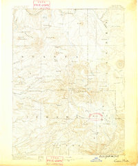
1886 · Lassen Peak
USGS Topo · 1:250,000
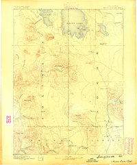
1886 · Modoc Lava Bed
USGS Topo · 1:250,000
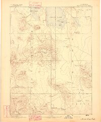
1892 · Modoc Lava-Bed
USGS Topo · 1:250,000
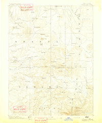
1892 · Lassen Peak
USGS Topo · 1:250,000
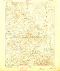
1894 · Lassen Peak
USGS Topo · 1:250,000
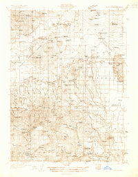
1932 · Bartle
USGS Topo · 1:96,000
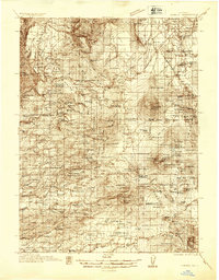
1935 · Burney
USGS Topo · 1:96,000
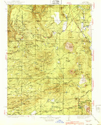
1939 · Burney
USGS Topo · 1:125,000
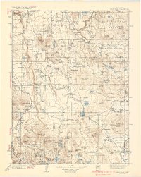
1939 · Halls Flat
USGS Topo · 1:125,000
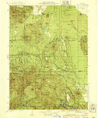
1939 · Bartle
USGS Topo · 1:125,000