
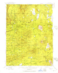
1935 Map of Burney
USGS Topo · Published 1935About this map
Burney and the surrounding Shasta County backcountry appear in this 1935 survey as a landscape shaped by hydroelectric development and timber. The map documents early industrial infrastructure along the Pit River, specifically detailing Hat Creek Power House No 1 and its companion facilities, which were critical to Northern California's power grid. Family names are etched into the terrain through numerous ranches like the Fillmore and Nunnen ranch sites, while the social fabric of the era is preserved in the locations of the Pineland and Inwood schools.
Find a feature on this map
161 named features on this map. Tap any name to fly to it.
Don’t see what you’re looking for? This feature index may not catch every label — zoom into the map to look around manually.
Map Details
Editions of this 1935 Burney Map
2 editions found
Other maps of this area

1886 · Lassen Peak
USGS Topo · 1:250,000

1886 · Modoc Lava Bed
USGS Topo · 1:250,000

1886 · Shasta
USGS Topo · 1:250,000

1890 · Red Bluff
USGS Topo · 1:250,000

1892 · Modoc Lava-Bed
USGS Topo · 1:250,000

1892 · Lassen Peak
USGS Topo · 1:250,000

1894 · Lassen Peak
USGS Topo · 1:250,000

1894 · Red Bluff
USGS Topo · 1:250,000

1894 · Shasta
USGS Topo · 1:250,000

1901 · Redding
USGS Topo · 1:125,000