Loading...
Loading map...1990 Map of Cassel
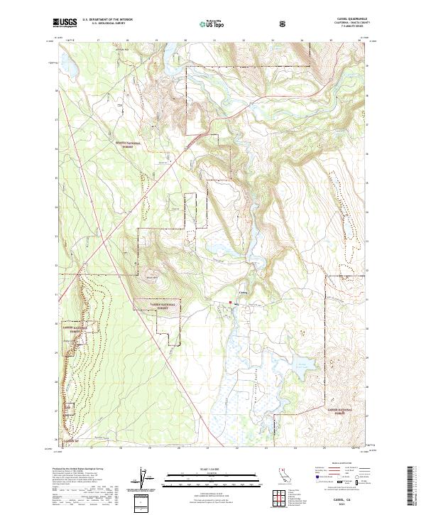
USGS Topo · Published 1990About this map
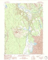
Cassel and the surrounding volcanic landscape of northeastern California are defined by the convergence of water and geological force. The Pit River and Hat Creek systems dominate the terrain, where hydroelectric development is evident at the Hat 1 Powerhouse and Hat 2 Powerhouse. The hydrology of the area supports specialized industry and recreation, notably at the Crystal Lake State Fish Hatchery and the Cassel Campground.
Find a feature on this map
31 named features on this map. Tap any name to fly to it.
Don’t see what you’re looking for? This feature index may not catch every label — zoom into the map to look around manually.
Map Details
Date Portrayed1990
Date Published1990
PublisherU.S. Geological Survey
Map TypeTopographic
Scale1:24,000
Physical Dimensions21.68 x 26.85 inches
Editions of this 1990 Cassel Map
This is the sole edition of this map. No revisions or reprints were ever made.
Historical Maps of ílmá Through Time
6 maps found
Featured Locations
Source Details
SourceU.S. Geological Survey
CopyrightPublic Domain