
1888 Map of Cassville
USGS Topo · Published 1888About this map
Small rural hamlets and timber-driven watermills define this late nineteenth-century landscape where Monmouth and Ocean Counties meet. The namesake village of Cassville sits central to a network of local hubs like Clarksburg, Perrineville, and Holmansville. The region's early industrial character is revealed through numerous mill sites along the tributaries of Tom's River, including Collier's Mills, Francis Mills, and Bennett's Mills.
Find a feature on this map
74 named features on this map. Tap any name to fly to it.
Don’t see what you’re looking for? This feature index may not catch every label — zoom into the map to look around manually.
Map Details
Editions of this 1888 Cassville Map
This is the sole edition of this map. No revisions or reprints were ever made.
Other maps of this area
1884 · Whitings
USGS Topo · 1:62,500

1888 · Bordentown
USGS Topo · 1:62,500
1888 · Pemberton
USGS Topo · 1:62,500
1888 · Barnegat
USGS Topo · 1:62,500

1888 · New Brunswick
USGS Topo · 1:62,500

1888 · Princeton
USGS Topo · 1:62,500
1888 · Asbury Park
USGS Topo · 1:62,500

1888 · Sandy Hook
USGS Topo · 1:62,500
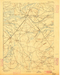
1888 · Whitings
USGS Topo · 1:62,500
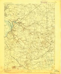
1893 · Bordentown
USGS Topo · 1:62,500