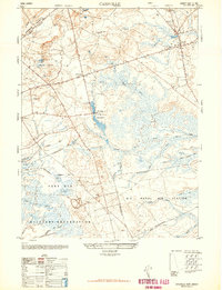
1948 Map of Cassville
USGS Topo · Published 1948About this map
Cranberry bogs and wetland management define the post-war landscape of Ocean and Monmouth Counties, particularly around the settlement of Cassville. The area is a mosaic of conservation and military utility, where the New Jersey Wild Life and Game Refuge at Colliers Mills sits just north of the expansive Fort Dix Military Reservation. This 1948 snapshot reveals an economy still tied to the land's hydrology, with numerous branches like Bordens Mill Branch and Success Branch feeding into the Toms River headwaters. Local landmarks such as St Vladimirs church and the rural crossroads of Archers Corner provide key points of interest for genealogists. The presence of a Dismantled Railroad and named features like Buck Swamp and Hartshorne Mill Stream suggest a transitioning landscape where industrial timber or milling history was giving way to state-managed forests and federal defense installations.
Find a feature on this map
30 named features on this map. Tap any name to fly to it.
Don’t see what you’re looking for? This feature index may not catch every label — zoom into the map to look around manually.
Map Details
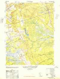
Editions of this 1948 Cassville Map
2 editions found
Other maps of this area

1884 · Whitings
USGS Topo · 1:62,500

1888 · Bordentown
USGS Topo · 1:62,500

1888 · Pemberton
USGS Topo · 1:62,500

1888 · Cassville
USGS Topo · 1:62,500

1888 · Whitings
USGS Topo · 1:62,500

1893 · Bordentown
USGS Topo · 1:62,500

1894 · Cassville
USGS Topo · 1:62,500

1894 · Pemberton
USGS Topo · 1:62,500

1898 · Pemberton
USGS Topo · 1:62,500

1900 · Cassville
USGS Topo · 1:62,500
Featured Places
- Jackson Township, NJ
- Manchester Township, NJ
- Plumsted Township, NJ
- Upper Freehold Township, NJ
- Colliers Mills, Jackson Township