
1931 Map of Castaic
USGS Topo · Published 1931About this map
Castaic sits at a critical junction of early California travel, where U S Highway No 99 and the Southern Pacific railroad thread through the canyons. This early 1930s survey captures the area during its period of agricultural and petroleum development, featuring the distinct Wayside Farm No 1 and Wayside Farm No 2 alongside early settlement markers like Foothill Sta and Lindys Place.
Find a feature on this map
35 named features on this map. Tap any name to fly to it.
Don’t see what you’re looking for? This feature index may not catch every label — zoom into the map to look around manually.
Map Details
Editions of this 1931 Castaic Map
This is the sole edition of this map. No revisions or reprints were ever made.
Other maps of this area

1903 · Tejon
USGS Topo · 1:125,000

1903 · Camulos
USGS Topo · 1:125,000

1903 · Santa Susana
USGS Topo · 1:62,500
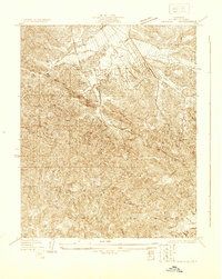
1929 · Newhall
USGS Topo · 1:24,000

1929 · Saugus
USGS Topo · 1:24,000
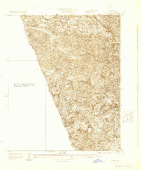
1929 · Pico
USGS Topo · 1:24,000

1931 · Red Mountain
USGS Topo · 1:24,000

1931 · Whitaker Peak
USGS Topo · 1:24,000

1931 · Santa Felicia Canyon
USGS Topo · 1:24,000
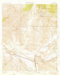
1933 · Saugus
USGS Topo · 1:24,000