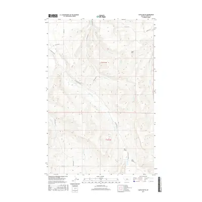
2017 Map of Castle Butte
USGS Topo · Published 2017About this map
Castle Butte rises as the central landmark in this portion of Fergus County, overlooking a landscape defined by deep drainages and intermittent mountain streams. The drainage pattern is led by Cottonwood Cr and Beaver Cr, which carve through the high country alongside Hay Canyon and Lyon Canyon. This region is a study in rural access, with a network of unimproved and 4WD roads like Casino Creek Rd and Sandhill Rd connecting the remote sections of the Public Land Survey System township boundaries. The terrain reflects the transition from open grazing land to the breaks of the Big Snowy Mountains. Genealogists and local historians can trace the specific routes of Natal Rd and Flower Hills Rd, which provide evidence of the longstanding ranching infrastructure and land use in this central Montana territory.
Find a feature on this map
19 named features on this map. Tap any name to fly to it.
Don’t see what you’re looking for? This feature index may not catch every label — zoom into the map to look around manually.
Map Details
Editions of this 2017 Castle Butte Map
This is the sole edition of this map. No revisions or reprints were ever made.
Other maps of this area

1889 · Big Snowy Mountain
USGS Topo · 1:250,000

1893 · Big Snowy Mountain
USGS Topo · 1:250,000

1941 · Lewistown
USGS Topo · 1:62,500

1944 · Lewistown
USGS Topo · 1:62,500

1954 · Roundup
USGS Topo · 1:250,000

1954 · Lewistown
USGS Topo · 1:250,000

1958 · Roundup
USGS Topo · 1:250,000

1959 · Lewistown
USGS Topo · 1:250,000

1970 · Glengarry
USGS Topo · 1:24,000

1970 · Crystal Lake
USGS Topo · 1:24,000