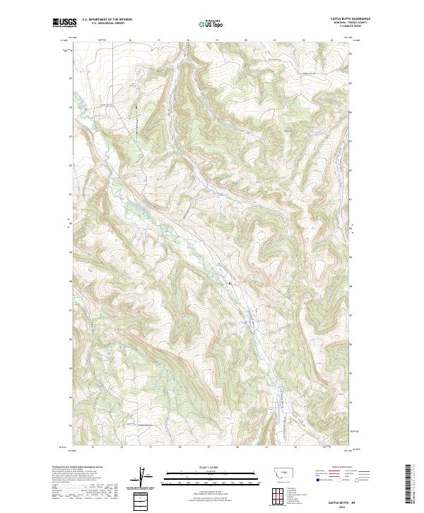
2024 Map of Castle Butte
USGS Topo · Published 2024About this map
Castle Butte rises above the headwaters of several key drainage systems in Fergus County, including the north-flowing Casino Creek and Mill Creek. This landscape is defined by its network of watercourses and the canyons they carve, most notably Lyon Canyon in the southeast. Modern access points like the Cottonwood Trailhead Acc suggest a transition toward recreation in an area traditionally shaped by rural ranching and land management. The presence of established corridors like Single Pine Rd, Natal Rd, and Flower Hills Rd provides a clear view of the contemporary road network through these Montana highlands. Smaller tributaries such as Spring Branch and the winding Cottonwood Creek weave through the township boundaries of T14N R18E and T13N R18E, illustrating the complex topography that dictates movement and land use in this part of the state.
Find a feature on this map
20 named features on this map. Tap any name to fly to it.
Don’t see what you’re looking for? This feature index may not catch every label — zoom into the map to look around manually.
Map Details
Editions of this 2024 Castle Butte Map
This is the sole edition of this map. No revisions or reprints were ever made.
Other maps of this area

1889 · Big Snowy Mountain
USGS Topo · 1:250,000

1893 · Big Snowy Mountain
USGS Topo · 1:250,000

1941 · Lewistown
USGS Topo · 1:62,500

1944 · Lewistown
USGS Topo · 1:62,500

1954 · Roundup
USGS Topo · 1:250,000

1954 · Lewistown
USGS Topo · 1:250,000

1958 · Roundup
USGS Topo · 1:250,000

1959 · Lewistown
USGS Topo · 1:250,000

1970 · Glengarry
USGS Topo · 1:24,000

1970 · Crystal Lake
USGS Topo · 1:24,000