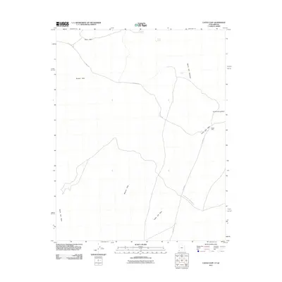
2011 Map of Castle Cliff
USGS Topo · Published 2011About this map
Beaver Dam Mountains dominate the eastern topography of this arid corner of Mohave County, where the high desert terrain is defined by a complex network of seasonal drainages. These washes, including Reber Wash, Burgess Wash, and Castle Cliff Wash, serve as the primary conduits for rare moisture through the landscape. Life in this environment is anchored by isolated water sources such as Reber Spring, Middle Spring, and Welcome Spring, which have historically dictated travel and survival in the region. Transportation follows the contours of the land, with Lytle Ranch Rd and Old Hwy 91 cutting across the desert floor. The area around Castle Cliff represents a significant geologic and navigational landmark along the Mojave Desert Joshua Tree Rd, illustrating the intersection of natural barriers and human transit routes.
Find a feature on this map
14 named features on this map. Tap any name to fly to it.
Don’t see what you’re looking for? This feature index may not catch every label — zoom into the map to look around manually.
Map Details
Editions of this 2011 Castle Cliff Map
This is the sole edition of this map. No revisions or reprints were ever made.
Other maps of this area

1885 · St. George
USGS Topo · 1:250,000

1885 · Pioche
USGS Topo · 1:250,000

1886 · Saint Thomas
USGS Topo · 1:250,000

1886 · Mt. Trumbull
USGS Topo · 1:250,000

1886 · Pioche
USGS Topo · 1:250,000

1891 · St. George
USGS Topo · 1:250,000

1892 · Mt. Trumbull
USGS Topo · 1:250,000

1893 · Saint Thomas
USGS Topo · 1:250,000

1953 · Cedar City
USGS Topo · 1:250,000

1953 · Grand Canyon
USGS Topo · 1:250,000