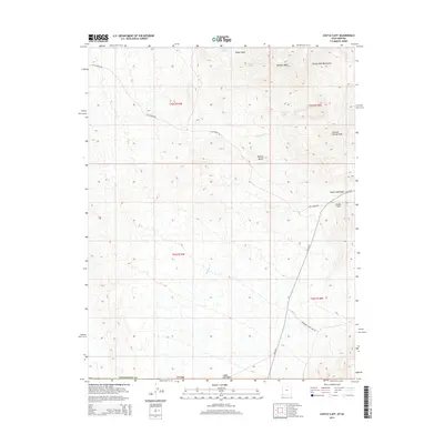
2014 Map of Castle Cliff
USGS Topo · Published 2014About this map
Castle Cliff sits at the base of the Beaver Dam Mountains in this arid landscape where the eastern edge of the Mojave Desert meets the Arizona-Utah border. The importance of scarce water is evident in the naming of several critical water sources, including Welcome Spring, Reber Spring, and Middle Spring. These springs and seasonal drainages like Reber Wash and Burgess Wash have historically dictated movement through this high-desert environment.
Find a feature on this map
20 named features on this map. Tap any name to fly to it.
Don’t see what you’re looking for? This feature index may not catch every label — zoom into the map to look around manually.
Map Details
Editions of this 2014 Castle Cliff Map
This is the sole edition of this map. No revisions or reprints were ever made.
Other maps of this area

1885 · St. George
USGS Topo · 1:250,000

1885 · Pioche
USGS Topo · 1:250,000

1886 · Saint Thomas
USGS Topo · 1:250,000

1886 · Mt. Trumbull
USGS Topo · 1:250,000

1886 · Pioche
USGS Topo · 1:250,000

1891 · St. George
USGS Topo · 1:250,000

1892 · Mt. Trumbull
USGS Topo · 1:250,000

1893 · Saint Thomas
USGS Topo · 1:250,000

1953 · Cedar City
USGS Topo · 1:250,000

1953 · Grand Canyon
USGS Topo · 1:250,000