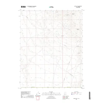
2020 Map of Castle Cliff
USGS Topo · Published 2020About this map
The Beaver Dam Mountains dominate this arid landscape on the border of Utah and Arizona, where the northeastern reach of the Mojave Desert meets the Colorado Plateau. This modern survey tracks the sparse network of water sources essential to this high desert environment, including Reber Spring, Middle Spring, and Welcome Spring. The small settlement at Castle Cliff sits at the junction of several critical thoroughfares, including W Old Highway 91 and Lytle Ranch Rd. These routes follow the natural drainage patterns defined by Welcome Cr and the Summit Spring Wash. The presence of the Woodbury Study Area Rd suggests the specialized scientific and land-management role this territory serves in the 21st century, balancing transit corridors with environmental preservation.
Find a feature on this map
15 named features on this map. Tap any name to fly to it.
Don’t see what you’re looking for? This feature index may not catch every label — zoom into the map to look around manually.
Map Details
Editions of this 2020 Castle Cliff Map
This is the sole edition of this map. No revisions or reprints were ever made.
Other maps of this area

1885 · St. George
USGS Topo · 1:250,000

1885 · Pioche
USGS Topo · 1:250,000

1886 · Saint Thomas
USGS Topo · 1:250,000

1886 · Mt. Trumbull
USGS Topo · 1:250,000

1886 · Pioche
USGS Topo · 1:250,000

1891 · St. George
USGS Topo · 1:250,000

1892 · Mt. Trumbull
USGS Topo · 1:250,000

1893 · Saint Thomas
USGS Topo · 1:250,000

1953 · Cedar City
USGS Topo · 1:250,000

1953 · Grand Canyon
USGS Topo · 1:250,000